UN
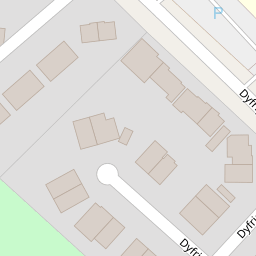
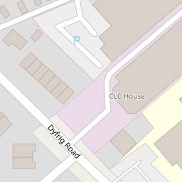
3 Dyfrig Road
£ 28,000
Description
We don't have a Description for this property.
- Bedrooms
- 3
- Bathrooms
- 0


Leaflet © OpenStreetMap contributors
The heatmap indicates the level of crime in the area. The color of the heatmap indicates the crime severity and recency.
Metrics Year-on-Year
- Average area value
- 209,177.00 £Increased by 0.73 %
- Average area rental value
- 962.00 £/moDecreased by 18.54 %
- Est rental Yield
- 5.52 %Decreased by 19.06 %
- Crime Rate
- 10.00 %Unchanged by 0.00 %
from 207,659.00 £
from 1,181.00 £/mo
from 6.82 %
from 10.00 %
Nearby Schools
| Name | Type | Ofsted | Distance |
|---|---|---|---|
| Millbank Primary School | Welsh Establishment | 0.27 KM | |
| Woodlands High School | Welsh Establishment | 0.64 KM | |
| Ty Gwyn Special School | Welsh Establishment | 0.71 KM | |
| Trelai Primary School | Welsh Establishment | 0.76 KM | |
| Riverbank Special School | Welsh Establishment | 0.80 KM |
Images
Nearby Streets
| Name | Average Price | Average Sqft | Distance |
|---|---|---|---|
| Robert Street | £ 203,333 | 0 | 0.00 KM |
| Heather Avenue | £ 230,000 | 0 | 0.00 KM |
| Plas Pont Elai | £ 0 | 0 | 0.00 KM |
| Cowbridge Road East | £ 0 | 0 | 0.00 KM |
| Clos Pwll Coch | £ 0 | 0 | 0.00 KM |
Nearby Transport
| Name | NLC | TLC | Distance |
|---|---|---|---|
| Waun-Gron Park | 3796 | WNG | 0.71 KM |
| Fairwater | 3873 | FRW | 1.45 KM |
| Danescourt | 3797 | DCT | 2.15 KM |
| Llandaf | 3844 | LLN | 2.96 KM |
| Ninian Park | 3895 | NNP | 3.06 KM |
Nearby Listings
| Address | Price | Type | Score | Distance |
|---|---|---|---|---|
| Dyfrig Road, Lower Ely, Cardiff CF5 5AD | £ 190,000 | BUY | Unknown | 0.00 KM |
| Dyfrig Close, Cardiff | £ 260,000 | BUY | Unknown | 0.07 KM |
| Greencroft Avenue, Lower Ely, Cardiff CF5 5AG | £ 150,000 | BUY | 5 / 10 | 0.17 KM |
| Riverside Terrace, Cardiff | £ 270,000 | BUY | Unknown | 0.26 KM |
| Riverside Terrace, Ely Bridge, Cardiff | £ 234,950 | BUY | 7 / 10 | 0.29 KM |
Nearby Properties
| Address | Price | Distance |
|---|---|---|
| 50 Dyfrig Road | £ 115,000 | 0.00 KM |
| 48 Dyfrig Road | £ 169,950 | 0.00 KM |
| 34 Dyfrig Road | £ 40,000 | 0.00 KM |
| 32 Dyfrig Road | £ 199,000 | 0.00 KM |
| 38 Dyfrig Road | £ 160,000 | 0.00 KM |